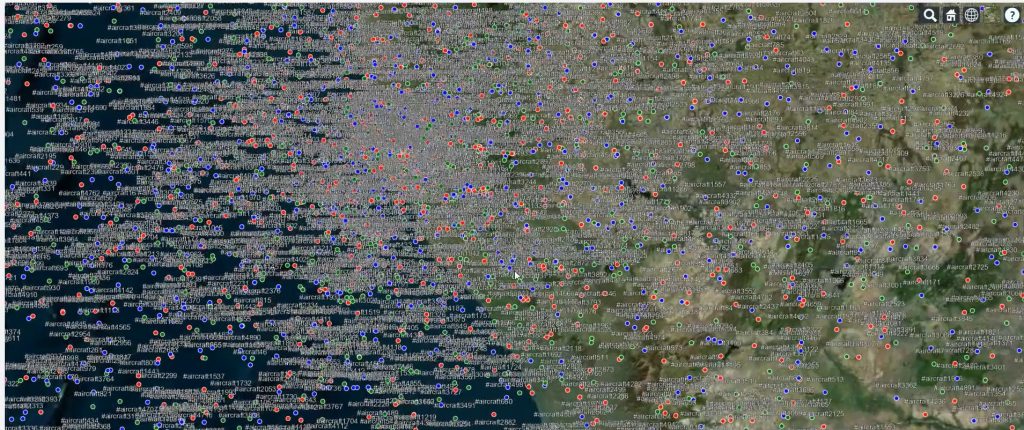
Real-time visualization

GIS for Drones - Manya Technologies

How Manya Technologies’ GIS Expertise Empowers Drone Manufacturers

The drone industry is evolving rapidly — from defense surveillance and precision agriculture to mapping, logistics, and infrastructure inspection. To unlock the full potential of UAVs, drone manufacturers increasingly rely on Geographic Information Systems (GIS) for mission planning, data visualization, and situational awareness. At Manya Technologies, we combine our deep expertise in GIS, Qt, QGIS, […]

How Manya Technologies’ GIS Expertise Empowers Drone Manufacturers Read More »

Cesium 5000 Targets Display

Real-Time Aircraft Track Visualization Using CesiumJS

At Manya Technologies, we specialize in building custom GIS solutions that integrate real-time data feeds with rich 3D visualization. One of our powerful implementations includes real-time radar/track display in a CesiumJS 3D globe — ideal for aviation, defense, simulation, and surveillance use cases. ✈️ Problem Statement Modern applications demand live visualization of moving assets (like

Real-Time Aircraft Track Visualization Using CesiumJS Read More »

Scroll to Top