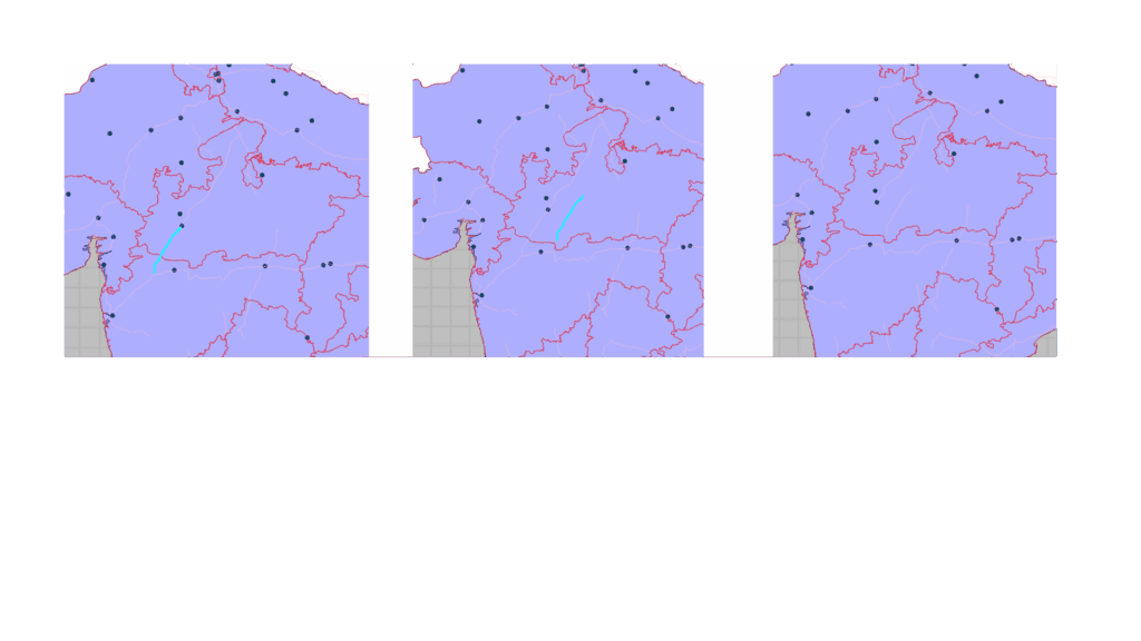
Editing Shapefile Features Using ArcGIS Maps SDK for Qt
Shapefiles are one of the most common formats used for storing vector GIS data such as points, lines, and polygons. When building…
Browse Manya Technologies posts on GIS, QGIS, Qt, CesiumJS, PostGIS, simulation, and drone mapping workflows.
Shapefiles are one of the most common formats used for storing vector GIS data such as points, lines, and polygons. When building…
Geospatial applications have become critical in a wide variety of industries—from urban planning and logistics to defense and environmental monitoring. Visualizing geospatial…
Introduction In Geographic Information Systems (GIS), raster data represents information in a grid-based structure such as satellite imagery, aerial photographs, digital elevation…
At Manya Technologies, we develop custom GIS tools using the powerful QGIS C++ API, integrated seamlessly into Qt interfaces. One essential feature…
At Manya Technologies, we develop custom GIS applications using QGIS API, Qt, and C++, tailored for real-time data visualization and geospatial intelligence.…
In today’s mission-critical environments—be it defense, aerospace, or large-scale infrastructure—real-time spatial awareness is essential. At Manya Technologies, we specialize in building custom…