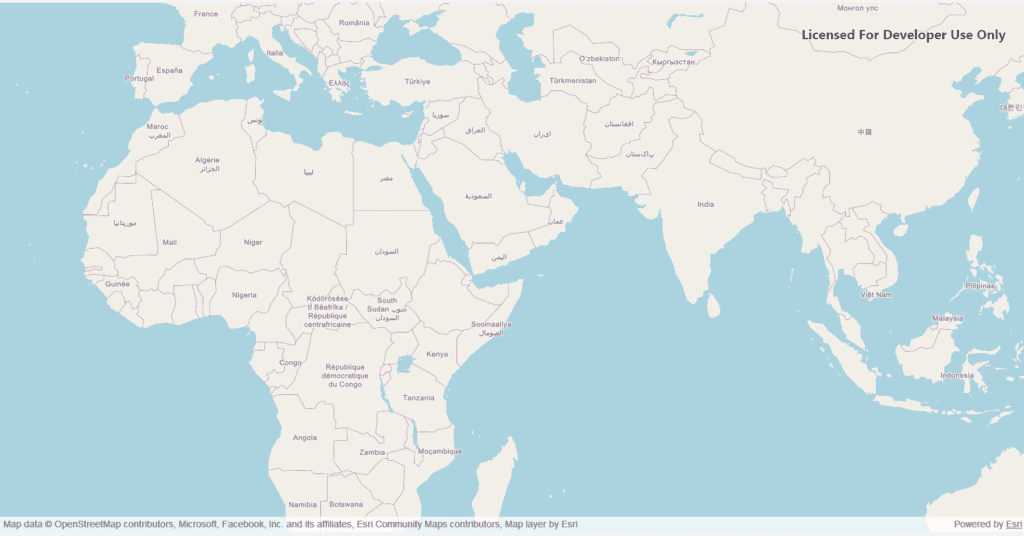
Displaying a Basemap in a Qt C++ Application Using ArcGIS Map SDK
Geospatial applications have become critical in a wide variety of industries—from urban planning and logistics to defense and environmental monitoring. Visualizing geospatial data efficiently and interactively can be challenging, but modern mapping SDKs like the ArcGIS Map SDK for Qt provide powerful tools to make this easier. In this blog, we’ll explore how to display […]
Displaying a Basemap in a Qt C++ Application Using ArcGIS Map SDK Read More »