ArcGIS Map SDK

display-moving-aircrafts-qt-arcgis-map-sdk-Manya Technologies

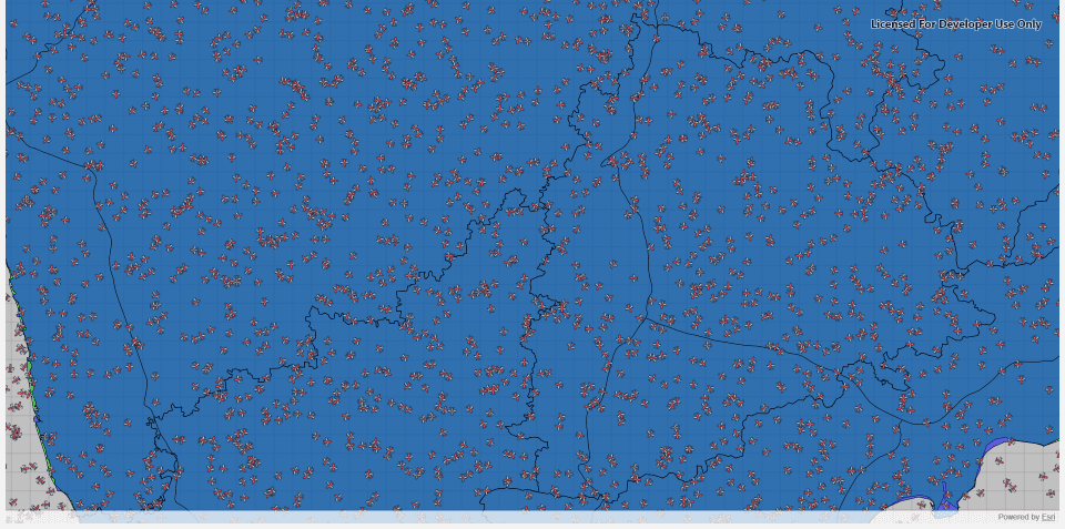
Display Moving Aircrafts in Qt using ArcGIS Maps SDK (Qt/C++)

Introduction Displaying and tracking moving aircrafts on a live map is a key feature in applications like air traffic monitoring, radar simulation, and situational awareness systems. With the ArcGIS Maps SDK for Qt, developers can create high-performance map displays that render dynamic objects—like aircrafts—moving in real time.In this tutorial, we’ll show how to display multiple […]

Display Moving Aircrafts in Qt using ArcGIS Maps SDK (Qt/C++) Read More »

arcgis-map-sdk-Shapefile-Manya Technologies

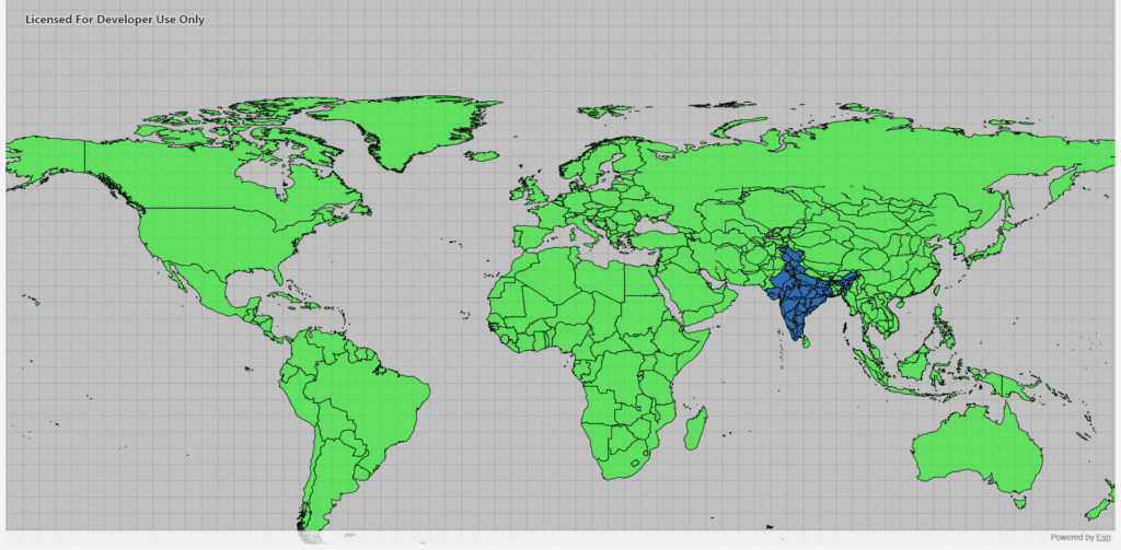
Display Shapefiles Using ArcGIS Maps SDK for Qt (C++)

Introduction Shapefiles are one of the most common GIS data formats used for representing geographic features such as countries, roads, rivers, and cities. The ArcGIS Maps SDK for Qt provides a powerful and efficient way to display shapefiles directly in a Qt-based C++ desktop application, allowing you to build rich, interactive GIS tools. In this

Display Shapefiles Using ArcGIS Maps SDK for Qt (C++) Read More »

arcgis-map-sdk-Manya Technologies

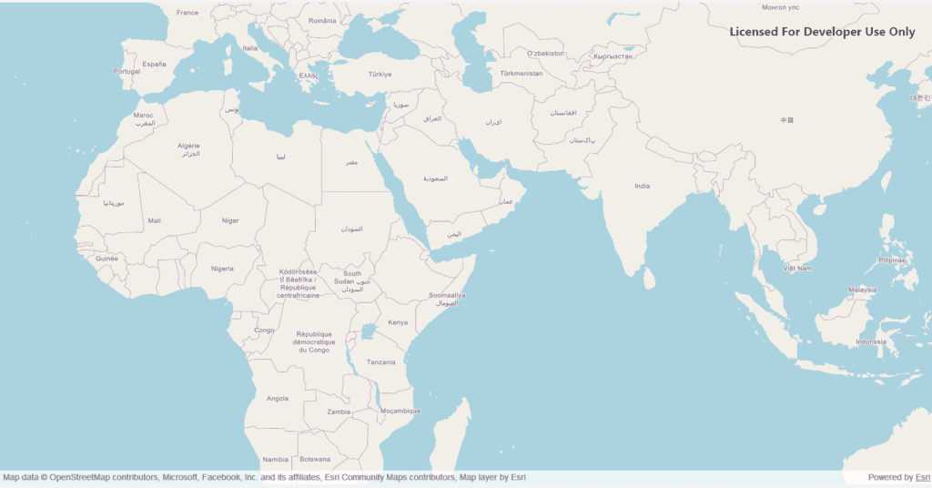
Displaying a Basemap in a Qt C++ Application Using ArcGIS Map SDK

Geospatial applications have become critical in a wide variety of industries—from urban planning and logistics to defense and environmental monitoring. Visualizing geospatial data efficiently and interactively can be challenging, but modern mapping SDKs like the ArcGIS Map SDK for Qt provide powerful tools to make this easier. In this blog, we’ll explore how to display

Displaying a Basemap in a Qt C++ Application Using ArcGIS Map SDK Read More »

Scroll to Top