October 2025

Offline ChatGPT - Manya Technologies

Building an Offline ChatGPT Using Ollama — Powering Custom AI Assistants by Manya Technologies

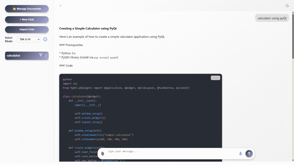
Introduction In today’s AI-driven world, most intelligent assistants rely on cloud connectivity — but what if you could have the power of ChatGPT completely offline?With tools like Ollama, it’s now possible to run large language models (LLMs) locally on your system, without depending on the internet. This ensures data privacy, fast response, and complete control […]

Building an Offline ChatGPT Using Ollama — Powering Custom AI Assistants by Manya Technologies Read More »

Indigenous GIS - PrithviGIS - Manya Technologies

PrithviGIS: India’s Indigenous GIS Technology Powering Aatmanirbhar Bharat

Geospatial intelligence is the silent backbone guiding national decisions, powering defense operations, infrastructure growth, and enterprise transformation. For decades, India has relied on expensive foreign GIS products, often tied with export restrictions, data control concerns, and high licensing fees. But the landscape is changing. A new era of Indigenous GIS innovation is rising in India.At

PrithviGIS: India’s Indigenous GIS Technology Powering Aatmanirbhar Bharat Read More »

display-moving-aircrafts-qt-arcgis-map-sdk-Manya Technologies

Display Moving Aircrafts in Qt using ArcGIS Maps SDK (Qt/C++)

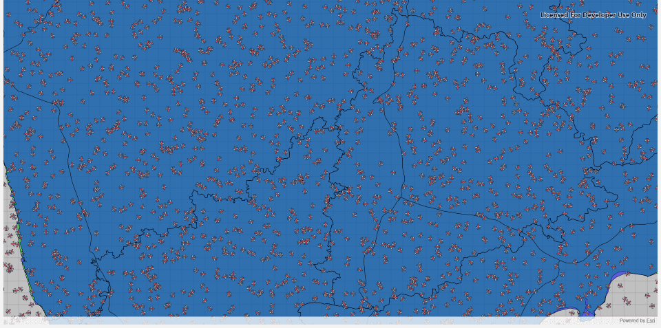
Introduction Displaying and tracking moving aircrafts on a live map is a key feature in applications like air traffic monitoring, radar simulation, and situational awareness systems. With the ArcGIS Maps SDK for Qt, developers can create high-performance map displays that render dynamic objects—like aircrafts—moving in real time.In this tutorial, we’ll show how to display multiple

Display Moving Aircrafts in Qt using ArcGIS Maps SDK (Qt/C++) Read More »

arcgis-map-sdk-Shapefile-Manya Technologies

Display Shapefiles Using ArcGIS Maps SDK for Qt (C++)

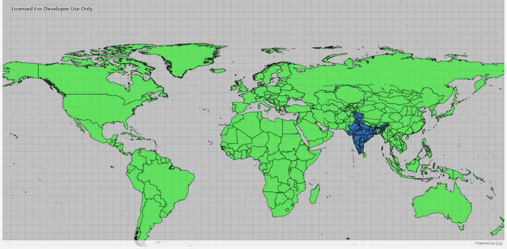
Introduction Shapefiles are one of the most common GIS data formats used for representing geographic features such as countries, roads, rivers, and cities. The ArcGIS Maps SDK for Qt provides a powerful and efficient way to display shapefiles directly in a Qt-based C++ desktop application, allowing you to build rich, interactive GIS tools. In this

Display Shapefiles Using ArcGIS Maps SDK for Qt (C++) Read More »

arcgis-map-sdk-Manya Technologies

Displaying a Basemap in a Qt C++ Application Using ArcGIS Map SDK

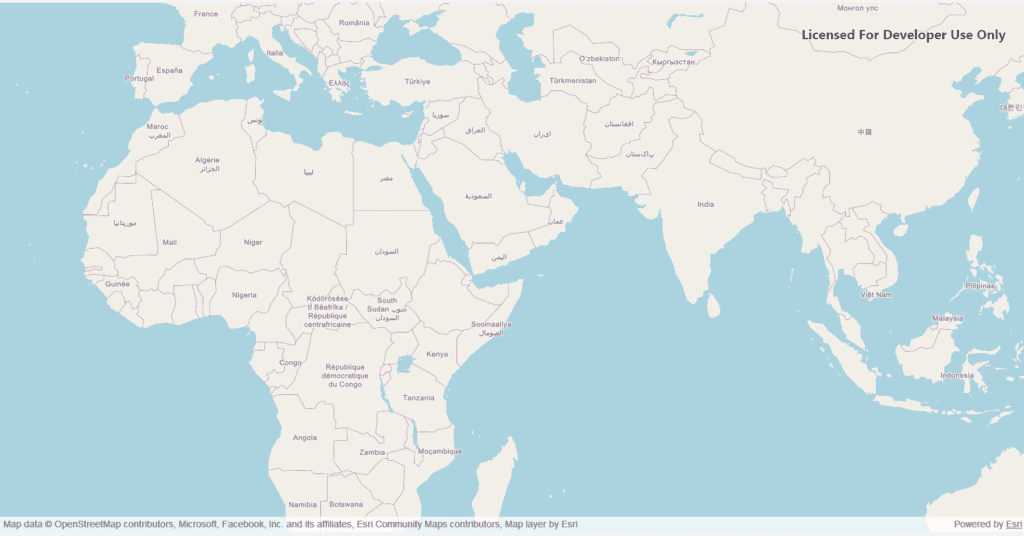
Geospatial applications have become critical in a wide variety of industries—from urban planning and logistics to defense and environmental monitoring. Visualizing geospatial data efficiently and interactively can be challenging, but modern mapping SDKs like the ArcGIS Map SDK for Qt provide powerful tools to make this easier. In this blog, we’ll explore how to display

Displaying a Basemap in a Qt C++ Application Using ArcGIS Map SDK Read More »

cesium3d-geojson-Manya technologies

How to Add Shapefiles (as GeoJSON) in CesiumJS and Control Their Visibility & Opacity

Introduction CesiumJS is a powerful open-source 3D globe and map engine that allows developers to visualize geospatial data in real-time. However, since Cesium doesn’t directly support shapefiles (.shp), we typically convert them to the more web-friendly GeoJSON format. In this tutorial, we’ll see how to: This is particularly useful when building GIS visualization tools, map

How to Add Shapefiles (as GeoJSON) in CesiumJS and Control Their Visibility & Opacity Read More »

STK DME track detection - Manya Technologies

Detecting Tracks Using STK DME Component

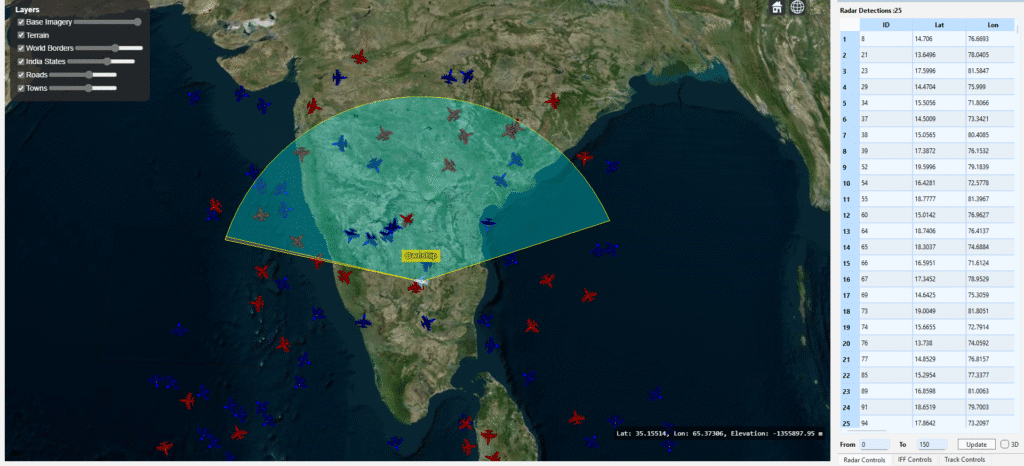
Introduction In modern defense and aerospace systems, radar-based track detection plays a critical role in situational awareness and threat assessment. Using Analytical Graphics Inc. (AGI) STK DME components, developers can simulate realistic radar sensors, model target motion, and compute detections based on signal-to-noise ratio (SNR), field of view (FOV), and radar cross-section (RCS). This post

Detecting Tracks Using STK DME Component Read More »

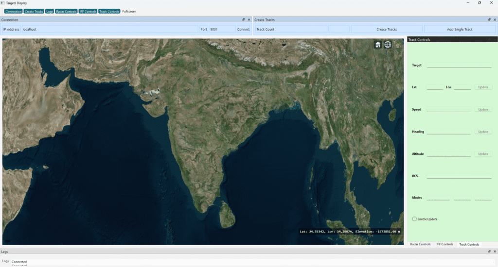
Integrate Microsoft Edge WebView2 in Qt-Manya Technologies

How to Integrate Microsoft Edge WebView2 with Qt (C++)

In modern desktop applications, embedding a web interface within a native UI has become increasingly popular. Microsoft’s Edge WebView2 allows developers to host modern, standards-compliant web content inside native Windows applications — offering the power of HTML5, CSS, and JavaScript within a Qt-based C++ app. In this post, we’ll walk through how to link WebView2

How to Integrate Microsoft Edge WebView2 with Qt (C++) Read More »

target-details-Manya technologies

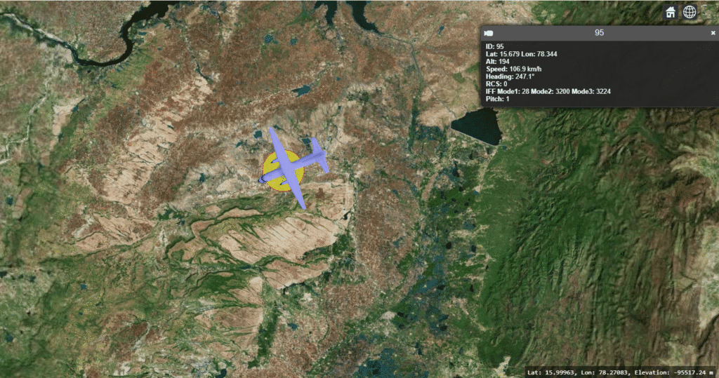
How to Display Track Details on Click in CesiumJS

Introduction In real-time 3D visualization systems such as air traffic, maritime tracking, or defense simulations, it’s essential to view detailed information about each moving target.CesiumJS, a powerful open-source 3D globe engine, makes this possible through its viewer.selectedEntityChanged event — allowing you to show track details when a user clicks on an entity. In this post,

How to Display Track Details on Click in CesiumJS Read More »

track-heading-vector-ManyaTechnologies

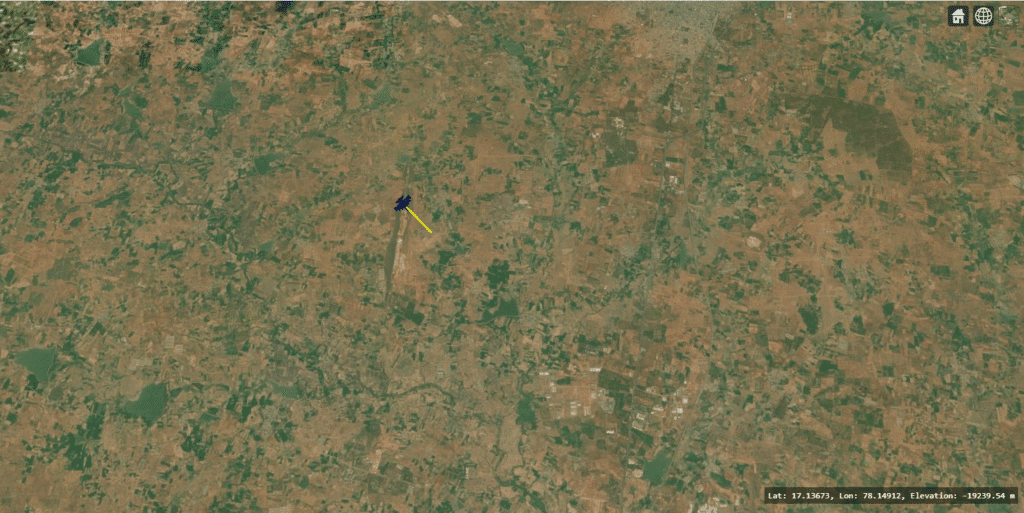
Displaying Heading Vectors in CesiumJS for Real-Time Track Visualization

Introduction In real-time geospatial or simulation applications—such as radar tracking, flight monitoring, or vehicle movement visualization—it’s often helpful to show not only the object’s current position but also its heading direction and speed. This is typically done using a heading vector (also known as a velocity vector or direction line). A heading vector provides an

Displaying Heading Vectors in CesiumJS for Real-Time Track Visualization Read More »

Scroll to Top