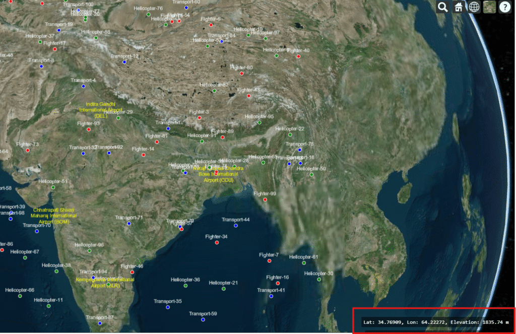
How to Display Latitude, Longitude, and Elevation of Mouse Position in CesiumJS
CesiumJS is a powerful open-source JavaScript library for 3D geospatial visualization on the web. It allows developers to build interactive globes and maps that handle massive datasets, visualize terrain, and display real-time simulations. From aerospace and defense to urban planning and GIS applications, CesiumJS is widely used to bring geospatial data to life in the […]
How to Display Latitude, Longitude, and Elevation of Mouse Position in CesiumJS Read More »