GIS Development

edit-shapefile-arcgis-sdk-Manya Technologies

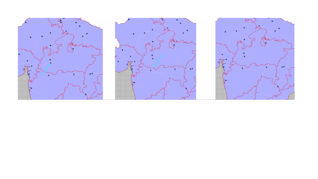
Editing Shapefile Features Using ArcGIS Maps SDK for Qt

Shapefiles are one of the most common formats used for storing vector GIS data such as points, lines, and polygons. When building a desktop GIS application using Qt, developers often need to load shapefiles, visualize them, and allow interactive editing of their features directly on the map. In this article, we’ll explore how to edit […]

Editing Shapefile Features Using ArcGIS Maps SDK for Qt Read More »

arcgis-map-sdk-Shapefile-Manya Technologies

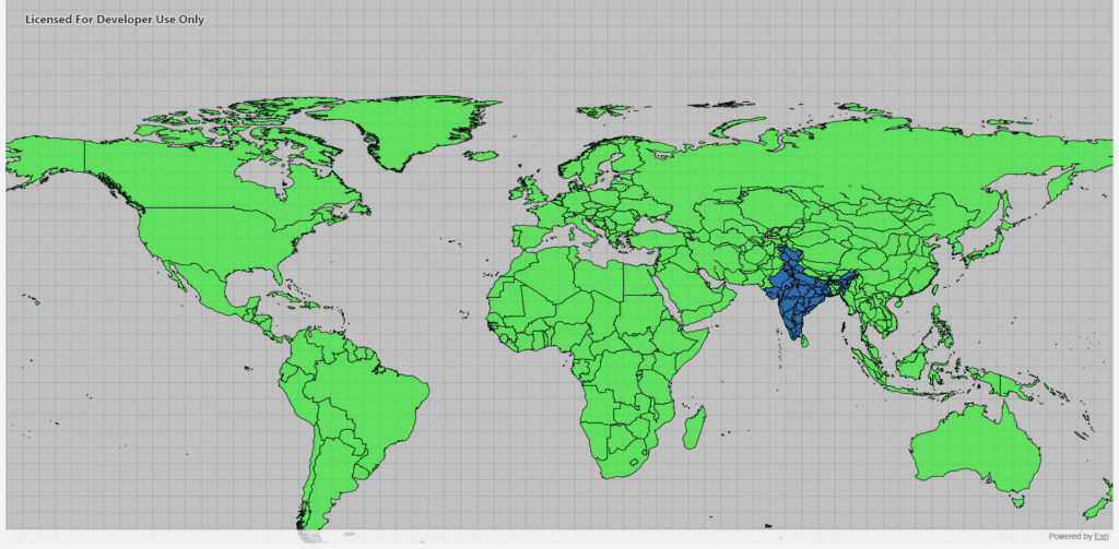
Display Shapefiles Using ArcGIS Maps SDK for Qt (C++)

Introduction Shapefiles are one of the most common GIS data formats used for representing geographic features such as countries, roads, rivers, and cities. The ArcGIS Maps SDK for Qt provides a powerful and efficient way to display shapefiles directly in a Qt-based C++ desktop application, allowing you to build rich, interactive GIS tools. In this

Display Shapefiles Using ArcGIS Maps SDK for Qt (C++) Read More »

Scroll to Top