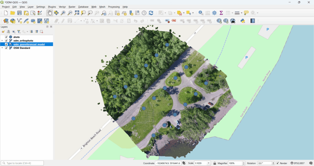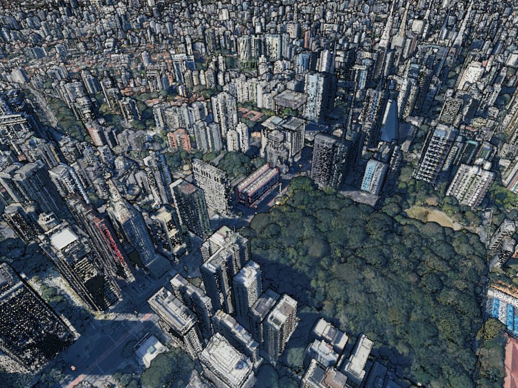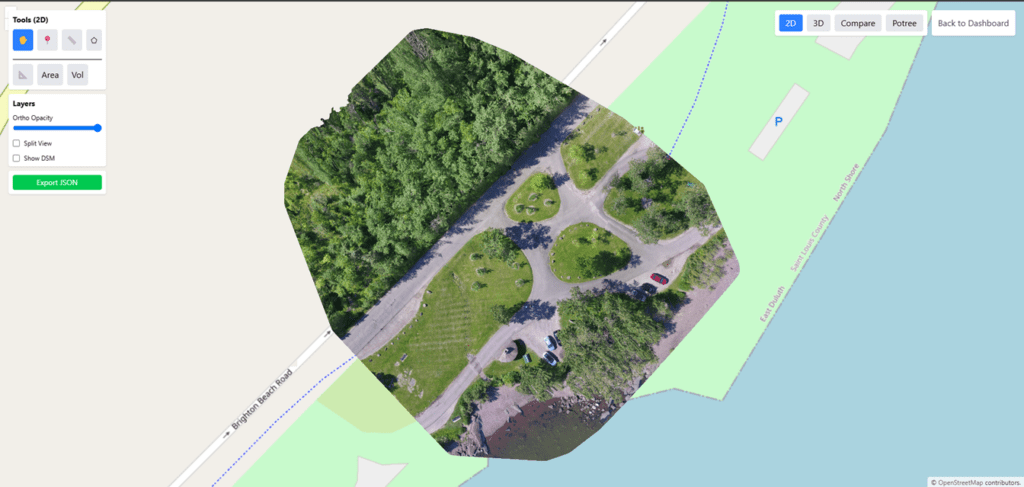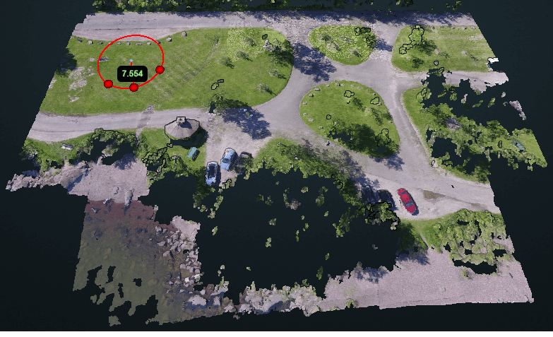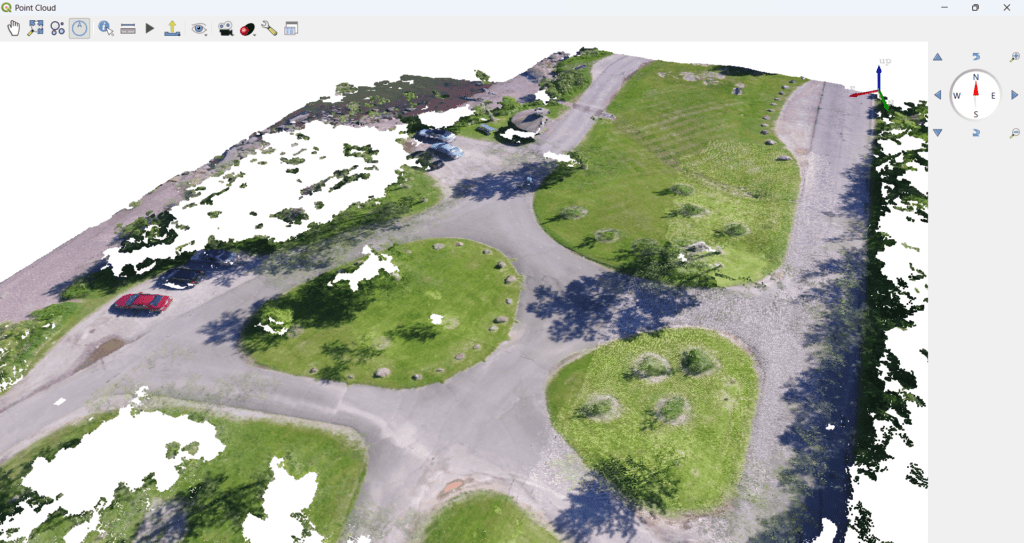
How to Visualize Point Clouds in 3D Using QGIS
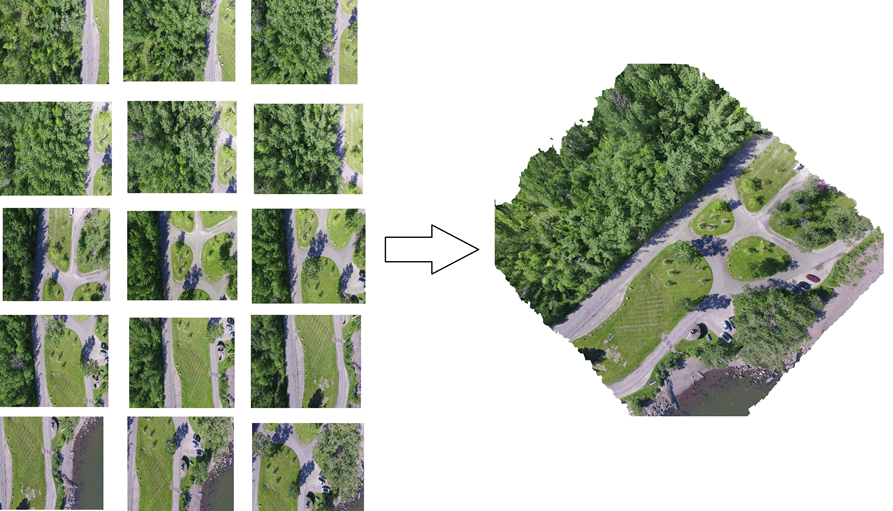
Point clouds have become a foundational data format for modern GIS applications, especially in drone mapping, LiDAR surveys, smart cities, infrastructure planning, mining, and defense. While specialized tools exist for point cloud processing, QGIS now offers powerful native capabilities to visualize and analyze point clouds in 3D—all within an open-source GIS platform. In this blog, […]
How to Visualize Point Clouds in 3D Using QGIS Read More »