CesiumJS

Raster display using cesium - Manya Technologies

How to Display a Raster Image at a Specific Location in CesiumJS

Introduction CesiumJS is a powerful open-source library for creating 3D geospatial applications on the web. While it is widely used for visualizing vector data, 3D tiles, and terrain, raster imagery also plays a crucial role in many applications. Raster images such as satellite snapshots, scanned maps, or custom overlays can provide valuable context to your

How to Display a Raster Image at a Specific Location in CesiumJS Read More »

Manya Technologies custom GIS software development team

How Powerful Are STK DME Components? A Practical Guide with Aircraft Simulation

When it comes to realistic simulation of aircraft, satellites, and other moving platforms, STK (Systems Tool Kit) DME (Dynamic Motion Engine) components stand out as a robust solution. In this blog post, we’ll explore the power of STK DME, its use cases, and walk through how to create and update aircraft motion using STK DME

How Powerful Are STK DME Components? A Practical Guide with Aircraft Simulation Read More »

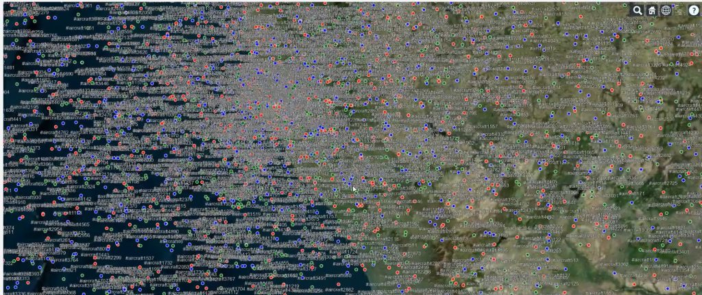
Cesium 5000 Targets Display

Real-Time Aircraft Track Visualization Using CesiumJS

At Manya Technologies, we specialize in building custom GIS solutions that integrate real-time data feeds with rich 3D visualization. One of our powerful implementations includes real-time radar/track display in a CesiumJS 3D globe — ideal for aviation, defense, simulation, and surveillance use cases. ✈️ Problem Statement Modern applications demand live visualization of moving assets (like

Real-Time Aircraft Track Visualization Using CesiumJS Read More »

Scroll to Top