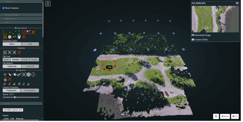
Drone Mapping: Revolutionizing the Way We See the World
In today’s digital era, drone mapping has transformed how we capture, visualize, and analyze our surroundings. By combining drones with advanced mapping and visualization technologies, organizations can generate high-resolution maps, 3D models, and spatial datasets faster and more affordably than ever before. What is Drone Mapping? Drone mapping is the process of using unmanned aerial […]
Drone Mapping: Revolutionizing the Way We See the World Read More »


