Drone Software

Point Cloud Display - Manya Technologies

How to Display Point Clouds Using Potree (Beginner-Friendly Guide)

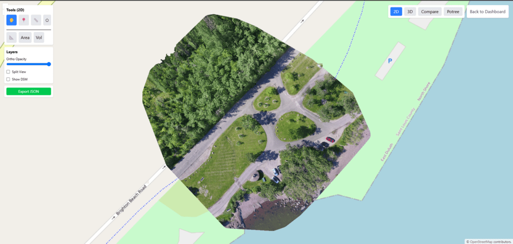
Introduction Point clouds are becoming a core part of modern drone mapping workflows—especially when working with LiDAR data or photogrammetry outputs. But visualizing these massive 3D datasets on the web can be challenging. This is where Potree, an open-source point cloud renderer, becomes an incredibly powerful tool. In this post, you’ll learn what point clouds […]

How to Display Point Clouds Using Potree (Beginner-Friendly Guide) Read More »

Orthomosaic Display - Manya Technologies

How to Display Orthomosaic Images Generated by OpenDroneMap Using OpenLayers

Introduction Drone mapping has become essential across industries—agriculture, construction, mining, urban planning, utilities, and environmental monitoring. With tools like OpenDroneMap (ODM), it is now possible to process raw drone images into highly accurate geospatial outputs such as orthomosaics, DSM, point clouds, and 3D models. Once an orthomosaic is generated, the next step is to display

How to Display Orthomosaic Images Generated by OpenDroneMap Using OpenLayers Read More »

Drones Mapping - Manya Technologies

How Manya Technologies’ GIS Expertise Empowers Drone Manufacturers

The drone industry is evolving rapidly — from defense surveillance and precision agriculture to mapping, logistics, and infrastructure inspection. To unlock the full potential of UAVs, drone manufacturers increasingly rely on Geographic Information Systems (GIS) for mission planning, data visualization, and situational awareness. At Manya Technologies, we combine our deep expertise in GIS, Qt, QGIS,

How Manya Technologies’ GIS Expertise Empowers Drone Manufacturers Read More »

Scroll to Top