Why Building Your Own Custom Drone Mapping Software Can Be More Cost-Efficient Than Using DroneDeploy or Pix4D
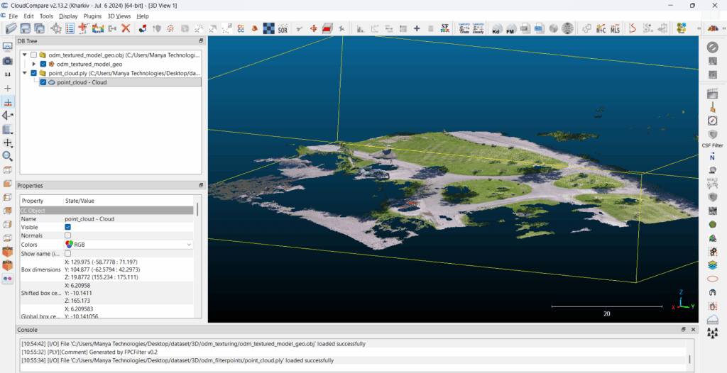
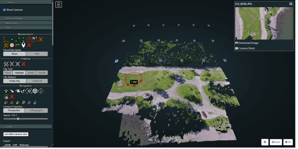
Drone mapping has become essential across industries—from agriculture and mining to construction, utilities, and defense. Most companies start with commercial SaaS platforms like DroneDeploy or Pix4D, which offer powerful features but also come with recurring subscription costs, usage limitations, and restricted customization. As organizations grow, these limitations often become expensive bottlenecks. This is where building […]