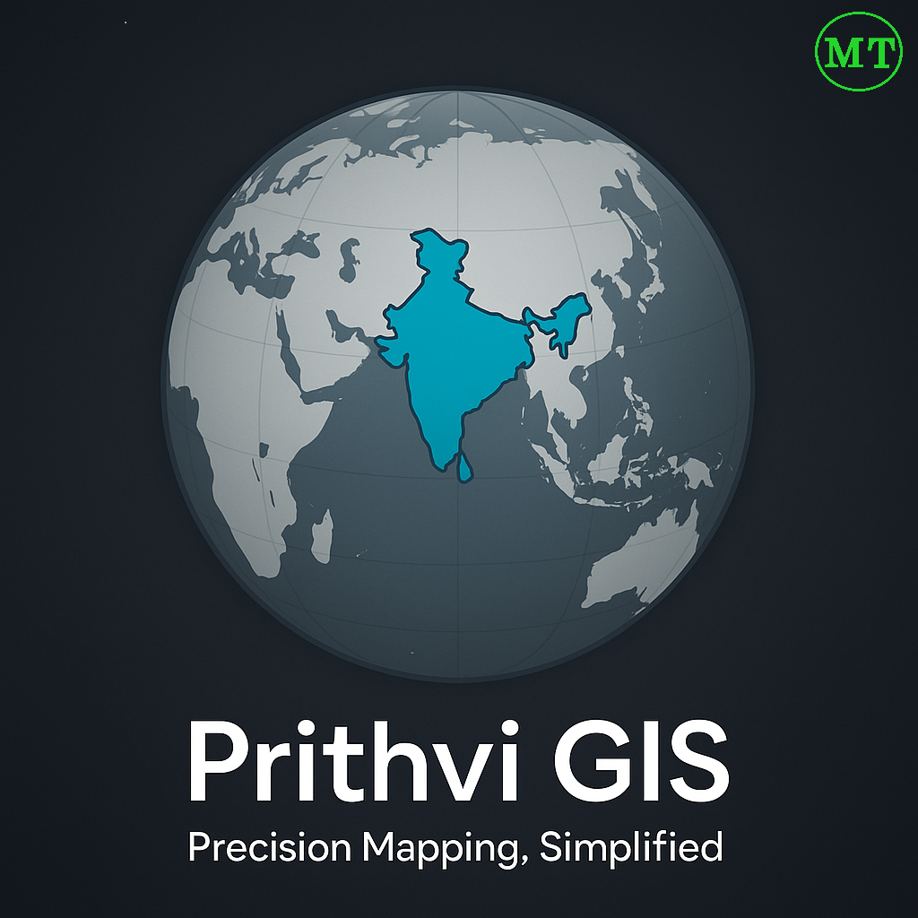
PrithviGIS: India’s Indigenous GIS Solution Empowering Local Development
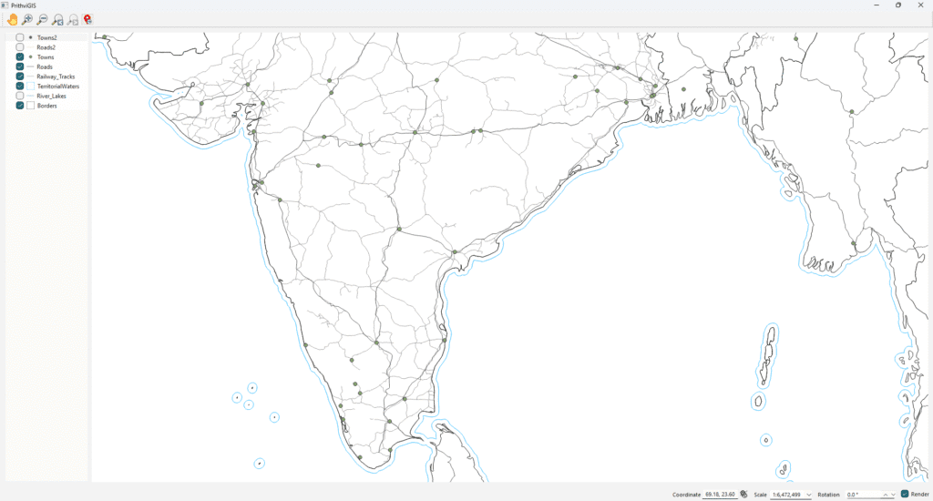
India is increasingly emphasizing indigenous technology development, encouraging homegrown solutions across sectors. In the geospatial domain, PrithviGIS, developed by Manya Technologies, stands out as a fully indigenous GIS application built on the robust QGIS platform. PrithviGIS offers a wide range of features tailored to India’s local needs, including real-time radar track display, 3D visualization, vector […]
PrithviGIS: India’s Indigenous GIS Solution Empowering Local Development Read More »