Shapefile

arcgis-map-sdk-Shapefile-Manya Technologies

Display Shapefiles Using ArcGIS Maps SDK for Qt (C++)

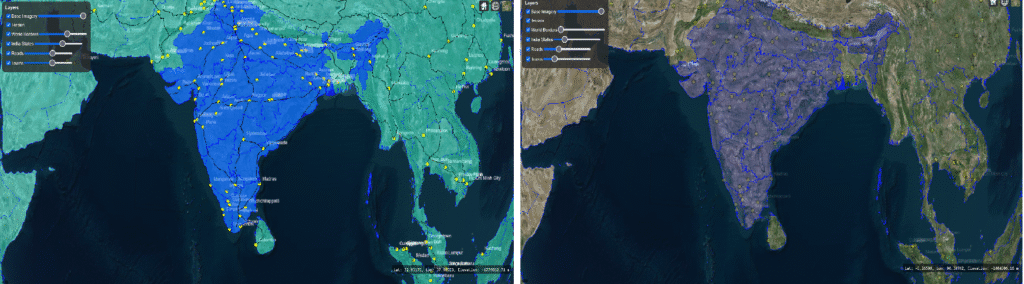
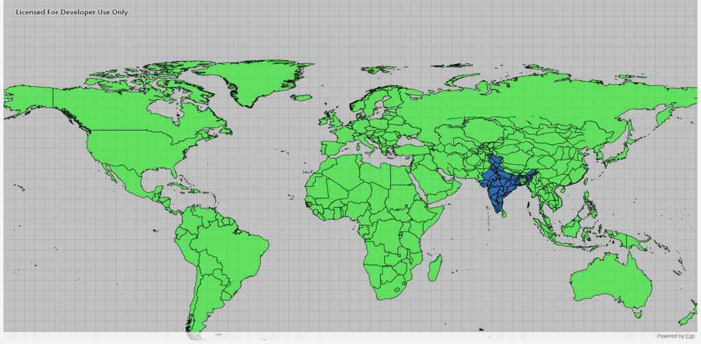
Introduction Shapefiles are one of the most common GIS data formats used for representing geographic features such as countries, roads, rivers, and cities. The ArcGIS Maps SDK for Qt provides a powerful and efficient way to display shapefiles directly in a Qt-based C++ desktop application, allowing you to build rich, interactive GIS tools. In this […]

Display Shapefiles Using ArcGIS Maps SDK for Qt (C++) Read More »

cesium3d-geojson-Manya technologies

How to Add Shapefiles (as GeoJSON) in CesiumJS and Control Their Visibility & Opacity

Introduction CesiumJS is a powerful open-source 3D globe and map engine that allows developers to visualize geospatial data in real-time. However, since Cesium doesn’t directly support shapefiles (.shp), we typically convert them to the more web-friendly GeoJSON format. In this tutorial, we’ll see how to: This is particularly useful when building GIS visualization tools, map

How to Add Shapefiles (as GeoJSON) in CesiumJS and Control Their Visibility & Opacity Read More »

Scroll to Top