Point Cloud Visualization: What It Is, Why It Matters, and How to View It Using Potree, CloudCompare & More
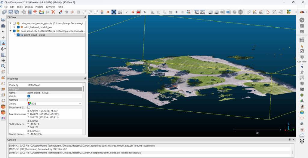
Point clouds have become a core data format in today’s geospatial, surveying, mapping, and 3D reconstruction workflows. Whether the data comes from drones, LiDAR sensors, photogrammetry, or laser scanners, point cloud visualization is essential for inspection, analysis, measurements, and 3D understanding. In this article, we break down what point clouds are, why visualization matters, and […]