ArcGIS Maps SDK for Qt

display-moving-aircrafts-qt-arcgis-map-sdk-Manya Technologies

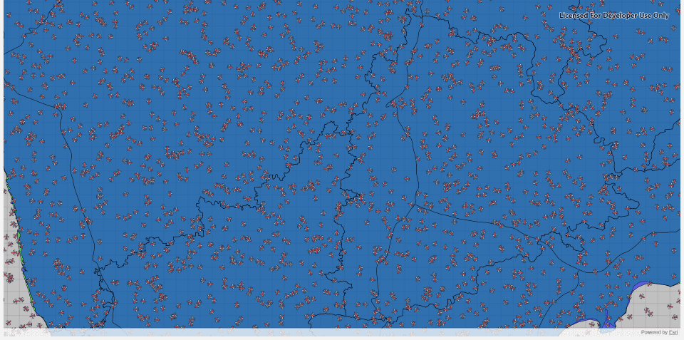
Display Moving Aircrafts in Qt using ArcGIS Maps SDK (Qt/C++)

Introduction Displaying and tracking moving aircrafts on a live map is a key feature in applications like air traffic monitoring, radar simulation, and situational awareness systems. With the ArcGIS Maps SDK for Qt, developers can create high-performance map displays that render dynamic objects—like aircrafts—moving in real time.In this tutorial, we’ll show how to display multiple […]

Display Moving Aircrafts in Qt using ArcGIS Maps SDK (Qt/C++) Read More »

arcgis-map-sdk-Shapefile-Manya Technologies

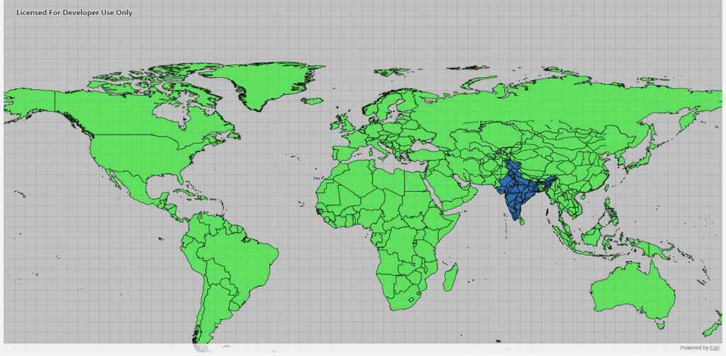
Display Shapefiles Using ArcGIS Maps SDK for Qt (C++)

Introduction Shapefiles are one of the most common GIS data formats used for representing geographic features such as countries, roads, rivers, and cities. The ArcGIS Maps SDK for Qt provides a powerful and efficient way to display shapefiles directly in a Qt-based C++ desktop application, allowing you to build rich, interactive GIS tools. In this

Display Shapefiles Using ArcGIS Maps SDK for Qt (C++) Read More »

Scroll to Top