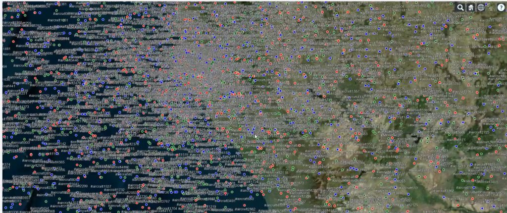
How to Display a Raster Image at a Specific Location in CesiumJS
Introduction CesiumJS is a powerful open-source library for creating 3D geospatial applications on the web. While it is widely used for visualizing vector data, 3D tiles, and terrain, raster imagery also plays a crucial role in many applications. Raster images such as satellite snapshots, scanned maps, or custom overlays can provide valuable context to your […]
How to Display a Raster Image at a Specific Location in CesiumJS Read More »


