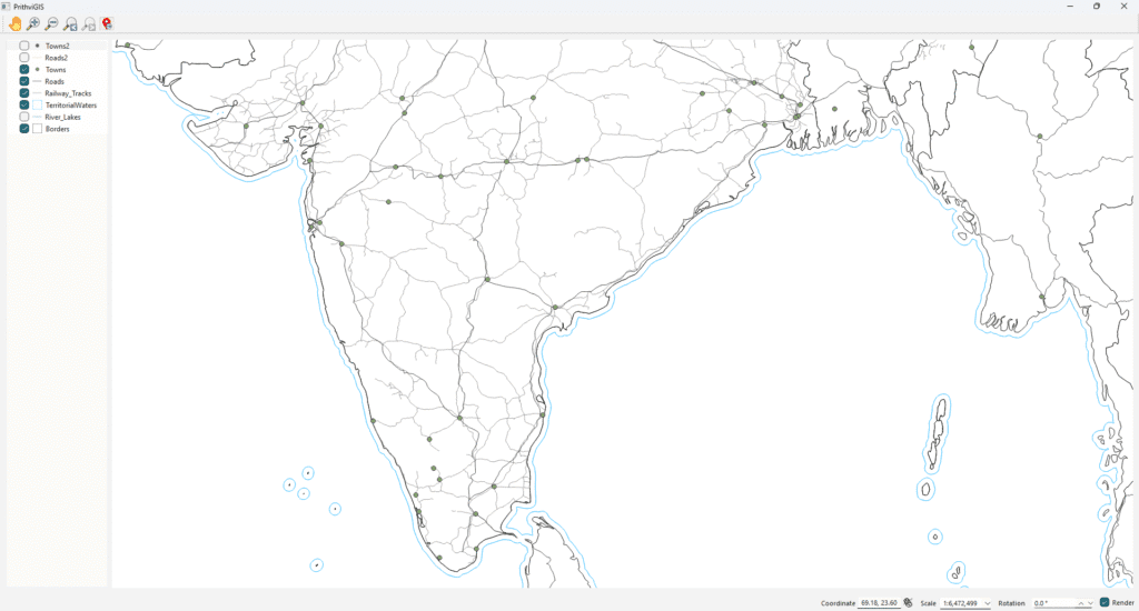
Customizing Vector Layers in a Qt Application: Colors, Line Styles, and Visibility
When building a custom GIS application with QGIS API and Qt, one common requirement is to allow users to control how different layers (roads, rivers, boundaries, towns, etc.) are displayed on the map. In this article, we’ll walk through how you can implement a GUI that enables users to: This flexibility ensures that your GIS […]
Customizing Vector Layers in a Qt Application: Colors, Line Styles, and Visibility Read More »