August 2025

Custom GIS and Simulation Services - Manya Technologies

Real-Time Sensor Data Integration in QGIS with C++ & Qt for Defense and Enterprise Applications

Introduction In mission-critical operations — whether it’s border security, military mission planning, or enterprise asset tracking — decisions rely on live, accurate data. Static maps are no longer enough. Teams need real-time geospatial awareness, where sensor inputs update instantly on the map. At Manya Technologies, we integrate radar, drone telemetry, IoT sensors, and other live […]

Real-Time Sensor Data Integration in QGIS with C++ & Qt for Defense and Enterprise Applications Read More »

Custom GIS and Simulation Services - Manya Technologies

Offline ChatGPT-like Assistant for Enterprise, Defense, and Privacy-Conscious Users | Manya Technologies

In an era where artificial intelligence is becoming a core part of decision-making, communication, and research, there’s one major concern that keeps organizations — especially in defense, government, and enterprise sectors — from fully embracing it: data privacy. Most modern AI assistants like ChatGPT require internet connectivity and rely on cloud-based servers. This means every

Offline ChatGPT-like Assistant for Enterprise, Defense, and Privacy-Conscious Users | Manya Technologies Read More »

Custom GIS and Simulation Services - Manya Technologies

Offline Voice Command Integration in Qt + QGIS + C++ for Mission Planning & Surveillance

In high-pressure scenarios like mission planning, border surveillance, or air traffic monitoring, every second matters. Operators often juggle multiple data sources, complex map layers, and real-time sensor feeds. In such environments, removing even a single mouse click can speed up response times and improve operational efficiency. This is where offline voice command integration in a

Offline Voice Command Integration in Qt + QGIS + C++ for Mission Planning & Surveillance Read More »

Shapefile Properties - Manya Technologies

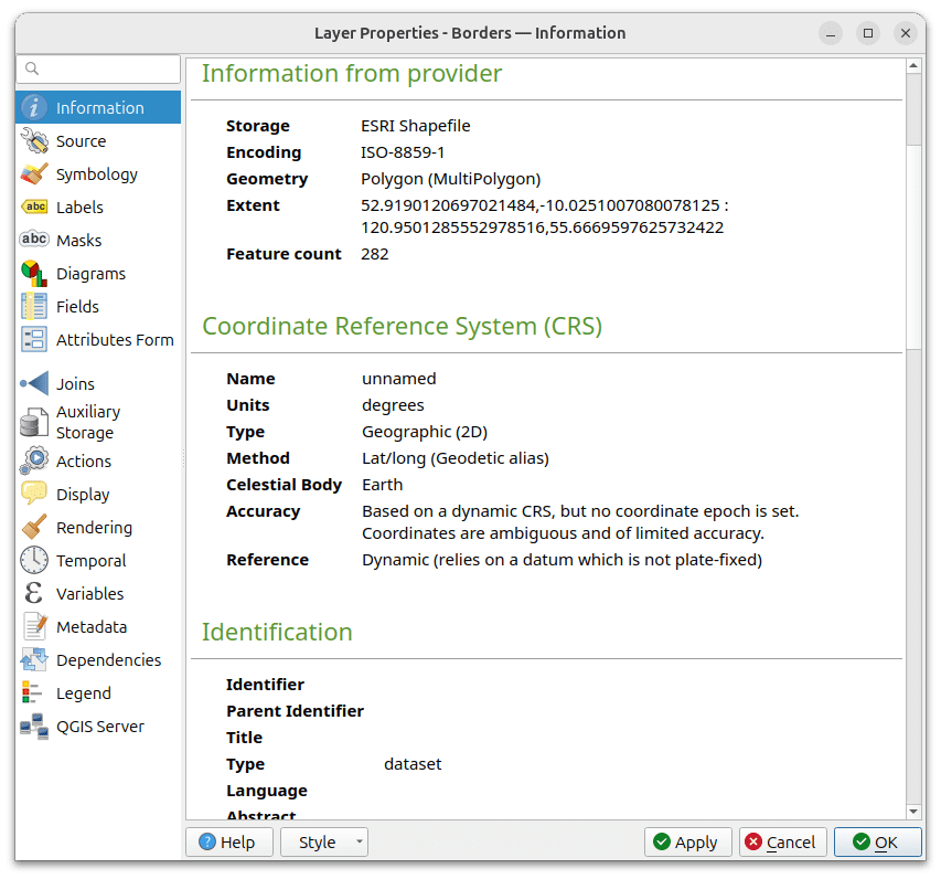
Displaying Vector Layer Properties in a Qt, QGIS, C++ Application

When building GIS applications with QGIS C++ and Qt, giving users direct access to vector layer properties is a must. The QgsVectorLayerProperties dialog in QGIS provides a familiar and powerful interface for managing symbology, metadata, attribute tables, labeling, and much more. In this article, we’ll walk through how to open and manage the vector layer

Displaying Vector Layer Properties in a Qt, QGIS, C++ Application Read More »

Manya Technologies custom GIS software development team

Building Dynamic UIs with QML

At Manya Technologies, we rely on Qt QML to build fluid, touch-friendly, and cross-platform user interfaces. Whether it’s a radar display console or a GIS dashboard, QML helps us deliver rich UX with native performance. In this post, we’ll show how to build a basic QML-based application using Qt that interacts with C++ — the

Building Dynamic UIs with QML Read More »

Manya Technologies custom GIS software development team

Connecting Qt with PostgreSQL: Accessing a Database Using Qt SQL

At Manya Technologies, we build robust, real-time applications using powerful open-source tools like Qt and PostgreSQL. One of the most common tasks in Qt-based enterprise software is database access — whether it’s reading GIS data, displaying radar tracks, or managing mission logs. In this blog, we’ll walk you through how to connect a PostgreSQL database

Connecting Qt with PostgreSQL: Accessing a Database Using Qt SQL Read More »

STK Simulation - Manya Technologies

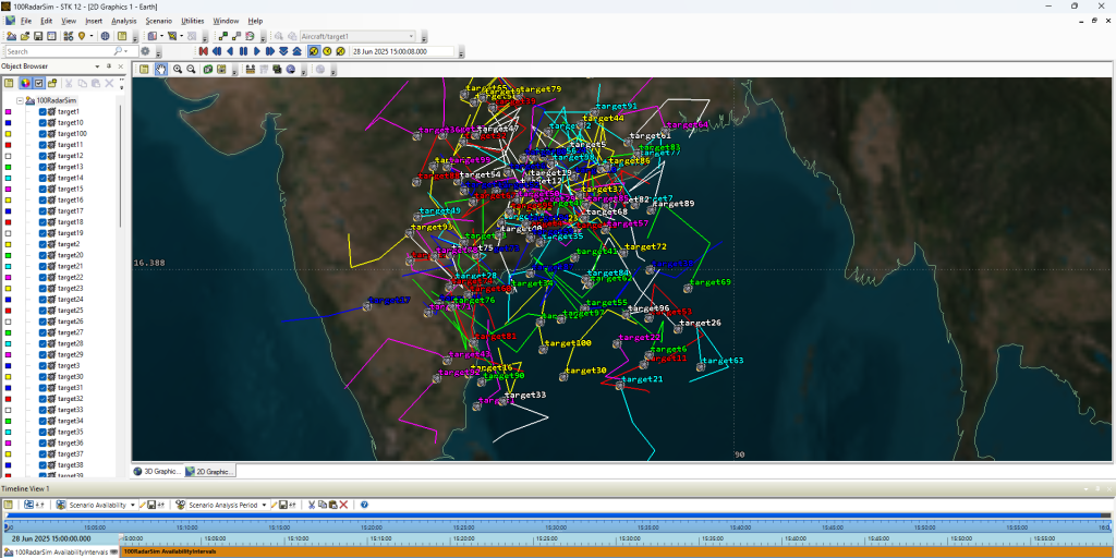
Creating and Propagating Multiple Aircraft Targets in AGI STK Using Python

In simulation and defense-grade mission planning, real-time aircraft trajectory generation is critical. In this article, we demonstrate how to use AGI STK (Systems Tool Kit) and its Python API to programmatically create and propagate multiple aircraft objects, ideal for radar or surveillance simulation scenarios. ✨ Objective Create 10 (scalable to 5000+) aircraft objects in STK

Creating and Propagating Multiple Aircraft Targets in AGI STK Using Python Read More »

Cesium 5000 Targets Display

Real-Time Aircraft Track Visualization Using CesiumJS

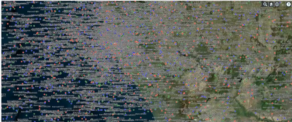
At Manya Technologies, we specialize in building custom GIS solutions that integrate real-time data feeds with rich 3D visualization. One of our powerful implementations includes real-time radar/track display in a CesiumJS 3D globe — ideal for aviation, defense, simulation, and surveillance use cases. ✈️ Problem Statement Modern applications demand live visualization of moving assets (like

Real-Time Aircraft Track Visualization Using CesiumJS Read More »

Scroll to Top