STK Simulation

Project

Simulate radar tracks, GPS using AGI STK DME Component Libraries or STK Desktop. Stream live updates to PrithviGIS or Cesium in real-time.

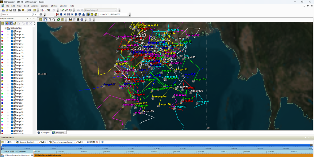
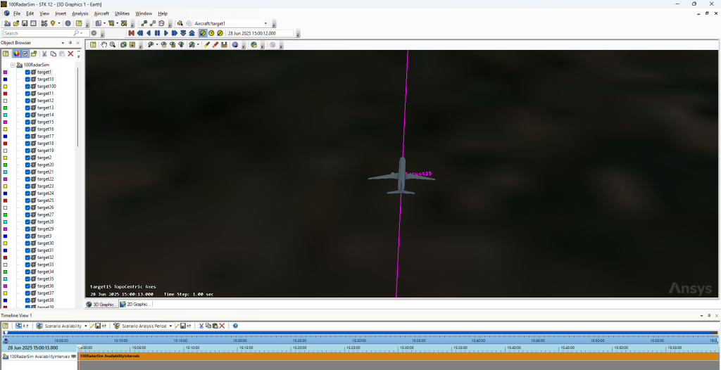
About This Simulation

STK Simulation - Manya Technologies

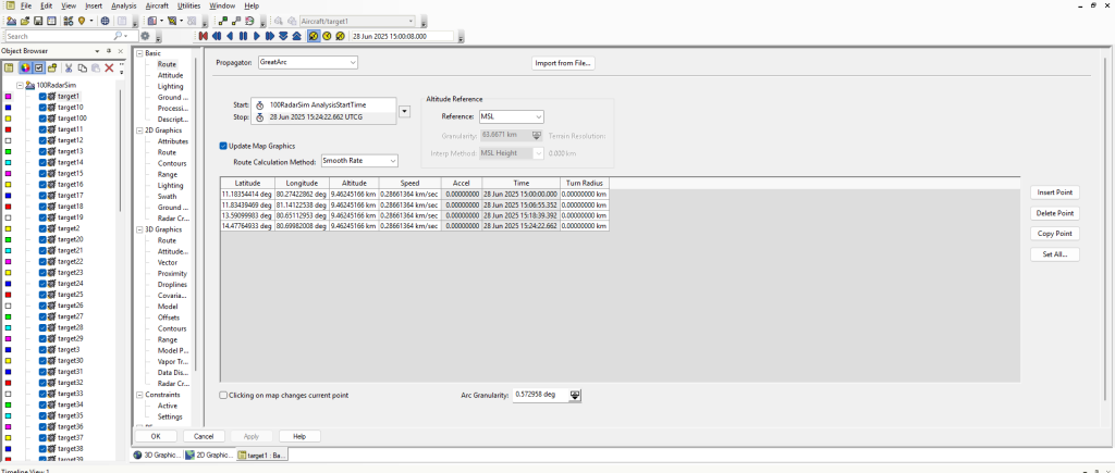
This module uses STK’s WaypointPropagator and CentralBodies for realistic 3D aircraft simulations. It generates track updates with heading, speed, altitude, and timestamps—then streams to PrithviGIS or Cesium via WebSocket or PostgreSQL.

✅ 3D Trajectory Simulation                ✅ AGI STK Component Integration ✅ NTP-Synced Time Control

✅ Multi-Aircraft Scenario Playback    ✅ Live WebSocket Broadcast           ✅ Cesium & 2D Map Display Ready

System Workflow

STK Components → Propagator → Simulation Logic → Data Formatter → WebSocket/DB → PrithviGIS/Cesium Display

How It Works

STK Waypoints

Step 1: Load STK Scenario & Initialize Propagators

Step 2: Define Aircraft Flight Legs

Step 3: Generate Timed Position/Heading Data

Step 4: Stream Data to WebSocket/PostgreSQL

Step 5: Auto-visualize in Cesium or PrithviGIS

Step 6: Replay using temporal controller

Integration with PrithviGIS

No manual refresh needed — track data written to PostgreSQL instantly appears in GIS with correct symbology, animation, and history support.

Use Cases

prithviGIS - AGI STK Integration

🛩️ Pilot Training Simulators

📡 Radar System Validation

🗺️ Sensor Fusion Testing

🧪 Mission Rehearsal

🔄 Multi-System Interoperability Testing

Would you like to start a custom project with us?

Get in Touch for a Custom Software Solution

Scroll to Top