
PrithviGIS
Operational desktop GIS built around QGIS, Qt, PostGIS, live tracks, symbology, annotations, replay, and controlled deployments.
Explore PrithviGISExplore Manya Technologies capabilities through PrithviGIS, Cesium Mission Lab, Enterprise WebGIS, GeoInsights, and our simulation and spatial-engineering project work.
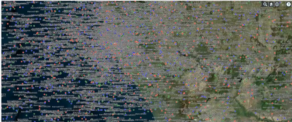
Each showcase is a standalone, interactive application designed to demonstrate a different project approach.
Operational desktop GIS built around QGIS, Qt, PostGIS, live tracks, symbology, annotations, replay, and controlled deployments.
Explore PrithviGISInteractive 3D scenarios for air, maritime, urban, and disaster-response tracks with replay, trails, sensor coverage, and annotations.
Open Cesium showcaseA responsive Bengaluru GIS portal demonstrating layers, identify, search, filters, clustering, measurements, drawing, editing, export, and dashboards.
Open WebGIS showcaseReal Sentinel-2 analysis comparing Bengaluru in 2019 and 2025 with spectral indices, land-cover classification, change detection, zone statistics, and reports.
Open GeoInsights showcaseExplore proven work areas across real-time maps, 3D track displays, simulation workflows, replay tools, and spatial dashboards.
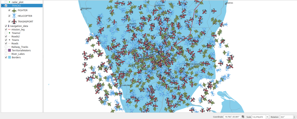
QGIS and Qt-based PrithviGIS displays for real-time positional data, tactical or operational layers, custom symbols, target metadata, and replay workflows.
Browser-based 3D visualization for thousands of moving tracks with terrain context, camera controls, metadata panels, and streaming-ready architecture.
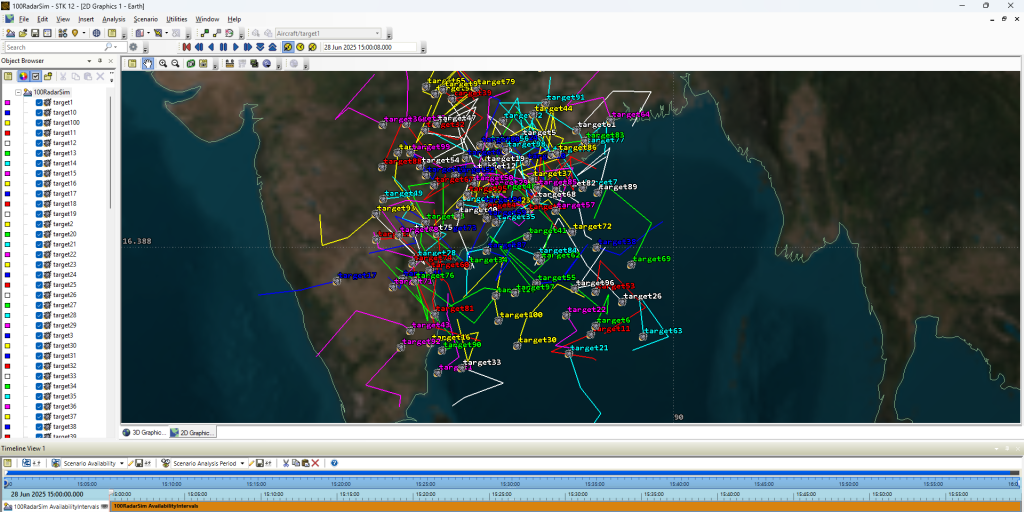
Scenario support for aircraft trajectories, mission planning, sensor coverage, simulation review, and geospatial visualization around generated outputs.
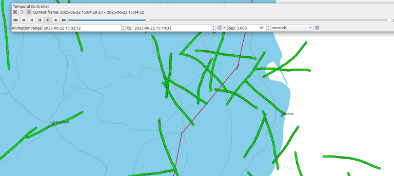
Generate repeatable track data for integration testing, operator demos, validation, training, load testing, and failure-case simulation.
Connect sensors, simulators, files, databases, APIs, TCP/UDP sources, or WebSocket streams.
Turn raw movement or spatial data into understandable 2D/3D operational interfaces.
Enable investigation, training, demonstrations, validation, and after-action analysis.
Use PostGIS, structured files, indexes, APIs, and synchronization flows for reliable spatial data.
Design focused operator, analyst, admin, and demo interfaces rather than generic screens.
Package systems for desktop, web, LAN, offline, controlled, or hybrid environments.
Prototype: use sample data to prove the visualization, feed, or workflow quickly.
MVP: add real integrations, user workflows, deployment assumptions, and review cycles.
Production: harden performance, packaging, logging, documentation, training, and support.
Send the workflow, sample data format, and desired output. We will help choose the right technical path.