PrithviGIS adapts to a wide range of industries and missions — from tactical operations to fleet management, environmental mapping, and more.
Whether you’re tracking airborne assets, planning military patrols, monitoring city traffic, or analyzing satellite imagery, PrithviGIS can be tailored to your mission. Built with open standards and a modular design, it’s ready for both high-security defense environments and everyday civil operations.
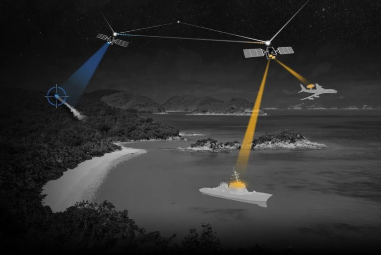
Defense & Tactical Applications
🛡️ Defense Situational Awareness
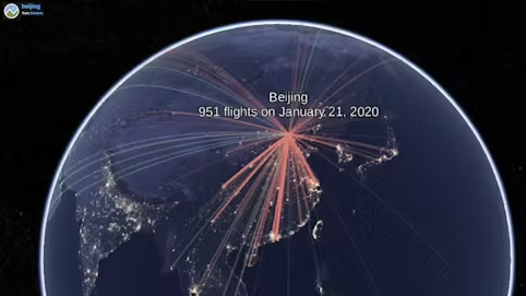
Real-time tracking of airborne, naval, and ground assets
Temporal playback for post-mission analysis
Layer-based separation of friendly, hostile, and neutral units
Integrated mission planning and route visualization
Identify and inspect targets on live feeds
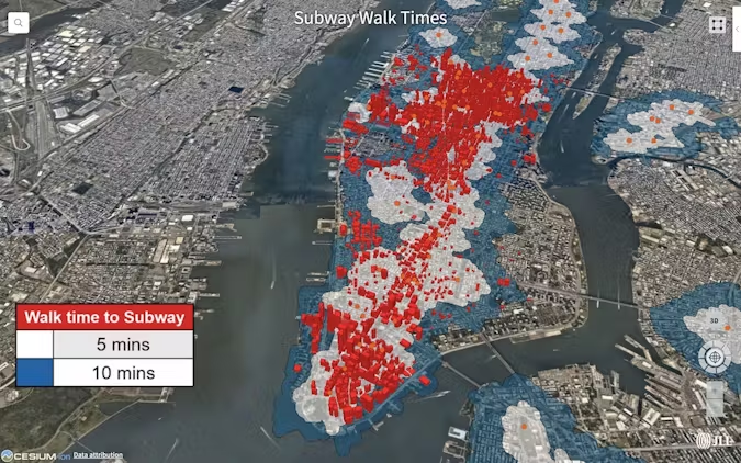
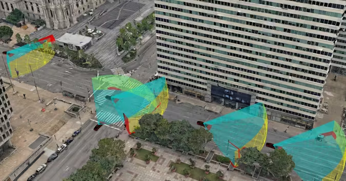
Civil Applications
🏙️ Civil Monitoring & Urban Planning
Integrate with OpenStreetMap, XYZ tiles, satellite layers
Plan city layouts, zoning, and infrastructure
Annotate and mark utility routes (gas, water, electricity)
Real-time fleet tracking for logistics or public transport
Fleet & Transportation
🚗 Fleet Management & Navigation
Display vehicle positions from GPS feeds
Use PostgreSQL to sync live vehicle data
Assign colors or symbols based on vehicle type/status
Embed in car dashboards or control centers
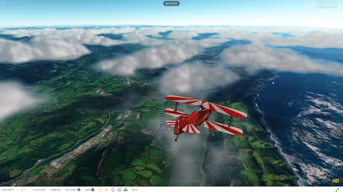
Airborne & Mission-Specific Planning
✈️ Mission Planning Tools for Aerial Operations
Create/edit flight legs and paths
Use temporal controller to simulate missions
Add annotations and mission-specific markers
Measure terrain height and distance in 3D
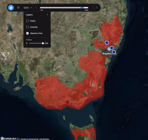
Environmental & Remote Sensing
🌍 Remote Sensing & Analysis
Use raster tools for radiometry, mosaicking, band analysis
View high-res imagery and apply spectral filters
Track environmental changes over time using QGIS temporal engine
Integrate satellite feeds or UAV imagery
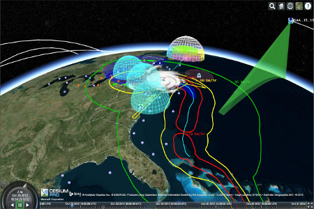
Simulation & Testing Labs
🧪 Simulator Integration & Testing
Connect to radar/sensor simulations via TCP/UDP
Display synthetic track data with realistic rendering
Perform stress testing with 10,000+ objects
Use as a display frontend for defense training labs
Custom Applications
🔧 Tailored GIS Solutions for Any Domain
Easily customize symbology, tools, and data workflows
Integrate with 3rd-party systems via API or DB bridge
Can be embedded in control rooms, dashboards, or field devices
Designed to meet industry- or mission-specific needs
Would you like to start a custom GIS project with us?