PrithviGIS
- A Powerful, Real-Time GIS Platform Built on QGIS
Real-time target display, multi-layer vector/raster support, 3D visualization, PostgreSQL integration, and powerful GIS tools — all in one customizable platform – PrithviGIS
Built for High-Performance Geospatial Applications
PrithviGIS combines the power of QGIS with real-time simulation and display capabilities. Whether you’re tracking thousands of moving entities or analyzing raster data, PrithviGIS offers the tools and performance you need — with seamless PostgreSQL/PostGIS integration and a modern UI in Qt.
Core Capabilities
We design and develop tailored software solutions that solve real-world challenges. From geospatial systems to data simulators and enterprise tools, our work is built around performance, reliability, and flexibility.
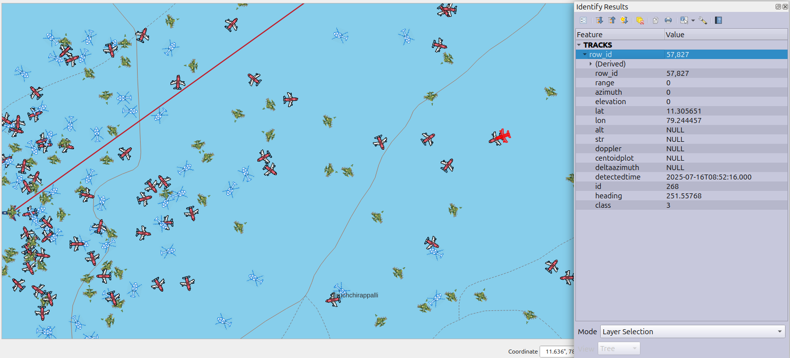
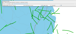
Live Data Integration
Real-time updates via PostgreSQL and network protocols, etc.
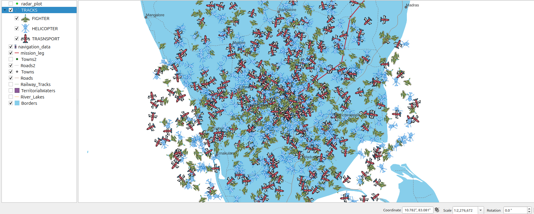
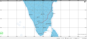
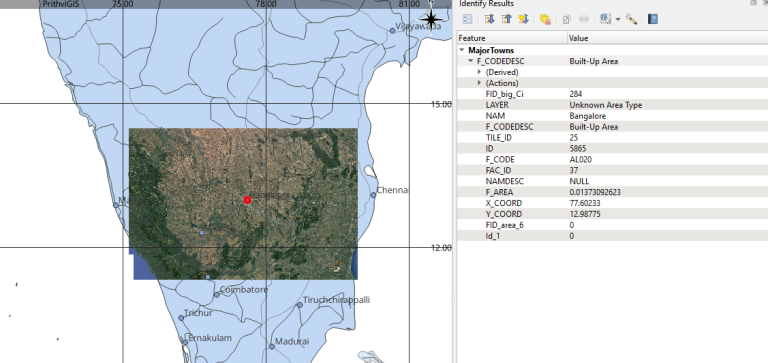
Vector & Raster Map Layers
Full control over symbology, transparency, labeling, etc.
Use QGIS temporal controller to replay past activity
Basic Map Tools
Zoom, pan, fit to layer, Zoom back, forward, etc.
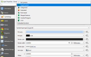
Symbology
Per-layer symbol styling, rule-based and categorized styling, etc.
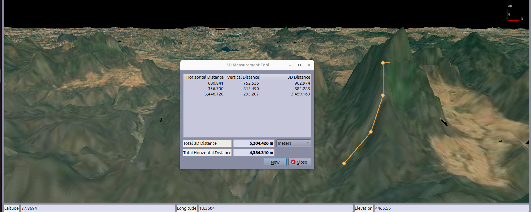
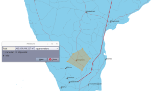
Measurement
Distance measurement, Area measurement, Bearing and Angle measurement
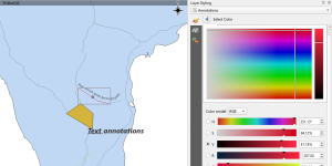
Annotation
Drawing tools: circle, polyline, polygon, text
Who It’s For
Flexible for Civil, Defense, and Enterprise Use Cases
🛡️ Tactical Monitoring
🚁 Aerial Surveillance
🛰️ Sensor Data Display
🚗 Fleet Management
🏙️ Smart City Planning
🗂️ GIS Research & Analysis
🏥 Disaster Response Planning
🌾 Agricultural Monitoring & Field Planning
Real-World Applications
From government defense projects to civilian infrastructure monitoring, PrithviGIS has been deployed in several mission-critical scenarios. Our clients have used it to:
Track moving objects in live airspace
Simulate data for radar and GPS systems
Analyze terrain for route planning
Visualize historical and real-time data layers
Integrate secure back-end data pipelines with frontend visualization
Customization
PrithviGIS is built for extensibility. Whether you need a custom plugin, integration with third-party hardware/systems, or a white-labeled GIS product, our platform is ready to evolve with your needs. We offer:
Custom modules based on QGIS and Qt
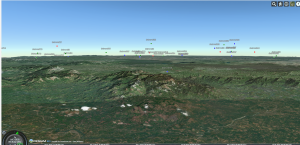
Support for VTK/3D visualization
Integration with REST APIs, WebSocket, or TCP/UDP data feeds
Offline and secured deployment options for defense clients