Introduction
In modern drone mapping platforms, accuracy is everything. Whether it’s infrastructure surveying, mining, construction, or urban planning, Ground Control Points (GCPs) remain a key factor in achieving reliable, survey-grade results.
While many commercial drone mapping solutions offer basic GCP functionality, they often fall short when it comes to scalability, automation, multi-user collaboration, and integration into end-to-end web platforms. This is where custom GCP tools become a competitive advantage for drone mapping software providers.
At Manya Technologies, we focus on building web-based drone mapping software, and we design custom GCP management modules that integrate seamlessly into commercial drone mapping platforms.
Why Standard GCP Features Are Not Enough
Most off-the-shelf GCP implementations are designed for single projects and desktop workflows. In a commercial web-based drone mapping platform, you need more:
- Centralized GCP management across projects
- Browser-based GCP creation and editing
- Multi-user collaboration with access control
- Automated validation and quality checks
- Seamless integration with processing pipelines
Without custom GCP tools, scaling a drone mapping business becomes difficult.
Key Use Cases for Custom GCP Tools
1. SaaS Drone Mapping Platforms
For companies building cloud-based drone mapping software:
- GCPs must be managed directly in the browser
- Users should place and adjust GCPs on orthophotos
- GCP data should persist across reprocessing runs
Custom tools allow tighter control and better user experience compared to generic solutions.
2. High-Volume Commercial Projects
Industries like construction, mining, and infrastructure deal with:
- Hundreds of GCPs per project
- Repeated drone flights over the same area
- Long-term accuracy monitoring
Custom GCP tools enable bulk import, version tracking, and accuracy comparison over time.
3. RTK / PPK Hybrid Workflows
Even with RTK drones, GCPs are still required for validation. Custom tools can:
- Combine RTK metadata with limited GCPs
- Automatically flag positional errors
- Generate accuracy and compliance reports
This is essential for enterprise and government clients.
4. Multi-Client & White-Label Platforms
Commercial platforms often serve:
- Multiple organizations
- Different accuracy requirements
- White-label deployments
Custom GCP modules allow tenant-level configuration and branding.
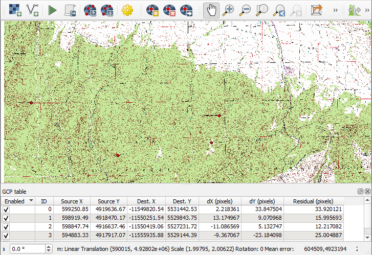
Core Features of a Custom Web-Based GCP Tool
A modern GCP module for commercial drone mapping software typically includes:
- Web map-based GCP placement (2D / 3D)
- Image-level GCP marking across multiple photos
- Coordinate system and datum handling
- Bulk upload & export (CSV, JSON, API)
- Automated residual and error analysis
- User roles & permissions
- Audit trails and version history
These features are difficult to achieve using generic tools.
Architecture Options for Commercial GCP Tools
1. Fully Web-Native GCP Module
Best for pure SaaS platforms:
- Frontend: Web map + image viewers
- Backend: Scalable APIs and processing services
- Database: Optimized spatial and non-spatial storage
This approach ensures performance, scalability, and easy deployment.
2. Integrated Processing-Pipeline GCP Tools
GCP tools tightly coupled with:
- Photogrammetry engines
- Orthomosaic and point-cloud processing
- Quality assurance pipelines
This allows automated reprocessing when GCPs change.
3. Hybrid Online / Offline Workflows
For field operations:
- Offline GCP capture
- Automatic sync when connected
- Conflict resolution and validation
Ideal for remote or large-area projects.
Why Custom GCP Tools Are a Business Advantage
| Generic GCP Tools | Custom GCP Tools |
|---|---|
| Basic functionality | Tailored commercial workflows |
| Limited scalability | Built for high-volume usage |
| Fixed UI/UX | Product-grade UX |
| Weak automation | End-to-end automation |
| Hard to differentiate | Strong product differentiation |
Custom GCP tools are not just a technical upgrade—they are a business enabler.
Conclusion: Build GCP Tools That Scale With Your Platform
For companies building commercial, web-based drone mapping software, GCP handling should be a first-class product feature, not an afterthought. Custom GCP tools improve accuracy, streamline workflows, and differentiate your platform in a competitive market.
At Manya Technologies, we develop end-to-end web-based drone mapping solutions, including custom GCP modules designed for scalability, performance, and commercial deployment.
👉 Planning to build or enhance a web-based drone mapping platform with advanced GCP tools?
Contact Manya Technologies to design a solution that fits your product vision and business goals.